Aerial Photography in Record Group 23: Records of the Coast and Geodetic Survey in Special List 25
Nine-Lens Aerial Photography, 1938-1961
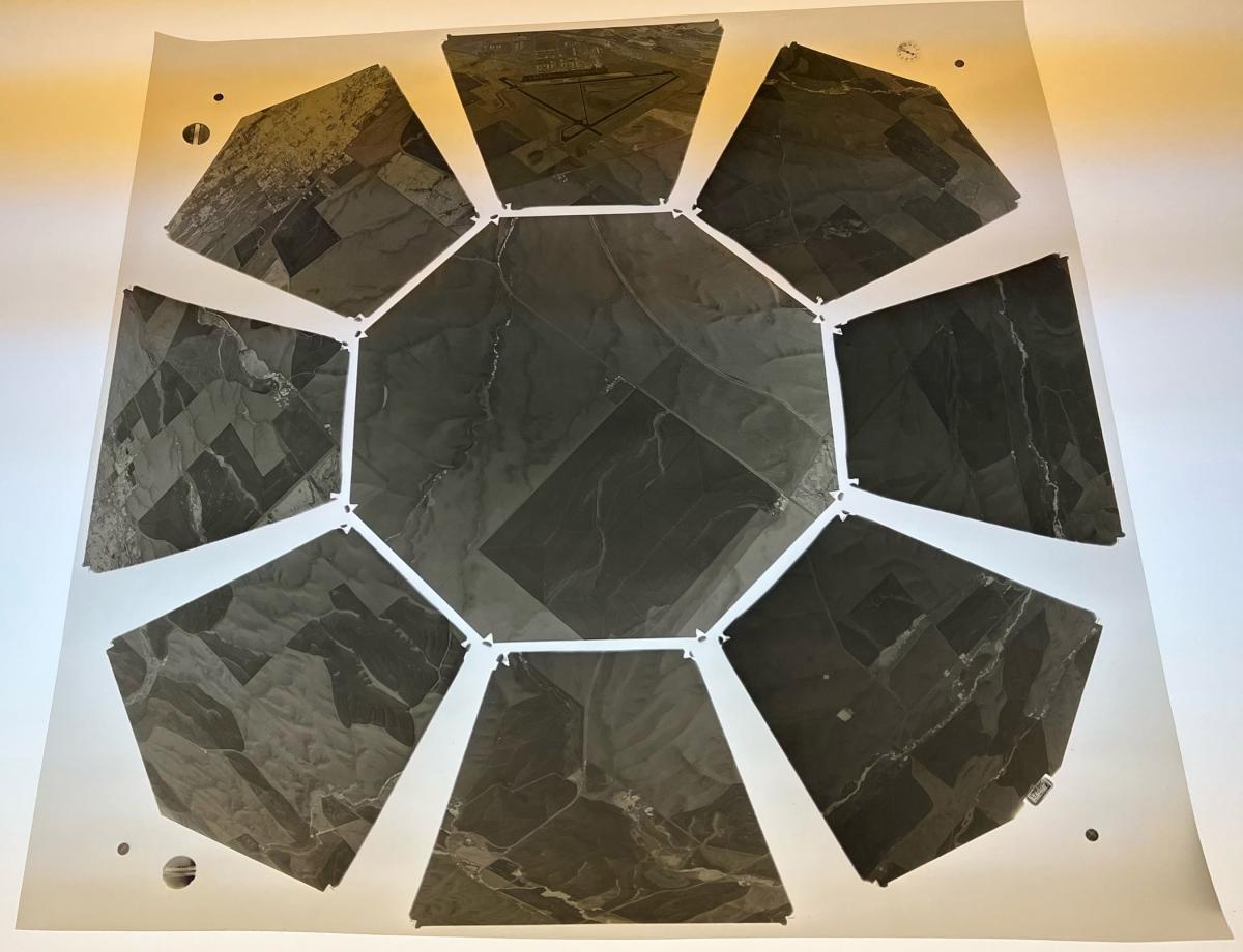
Aerial photography in Record Group 23: Records of the Coast and Geodetic survey includes Nine-Lens Aerial Photography, 1938–1961. Nine-Lens aerial photography consists of images taken by a nine-lens camera with each image including a central vertical photograph surrounded by eight low obliques. Coverage held in the Cartographic Branch Area overwhelmingly coastal and includes parts of the District of Columbia, Maryland, Alaska, Louisiana, Florida, Pennsylvania, New York, Maine, Massachusetts, Oregon, California, Washington, Virginia, New Jersey, North Carolina, South Carolina, Georgia, and Texas.
Similar to other domestic aerial photography, coverage can be searched by state and county in Special List 25. Additionally, the Special List can be filtered to only show coverage in RG 23.
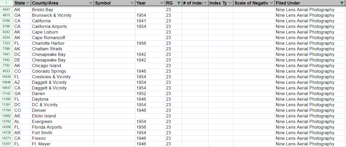
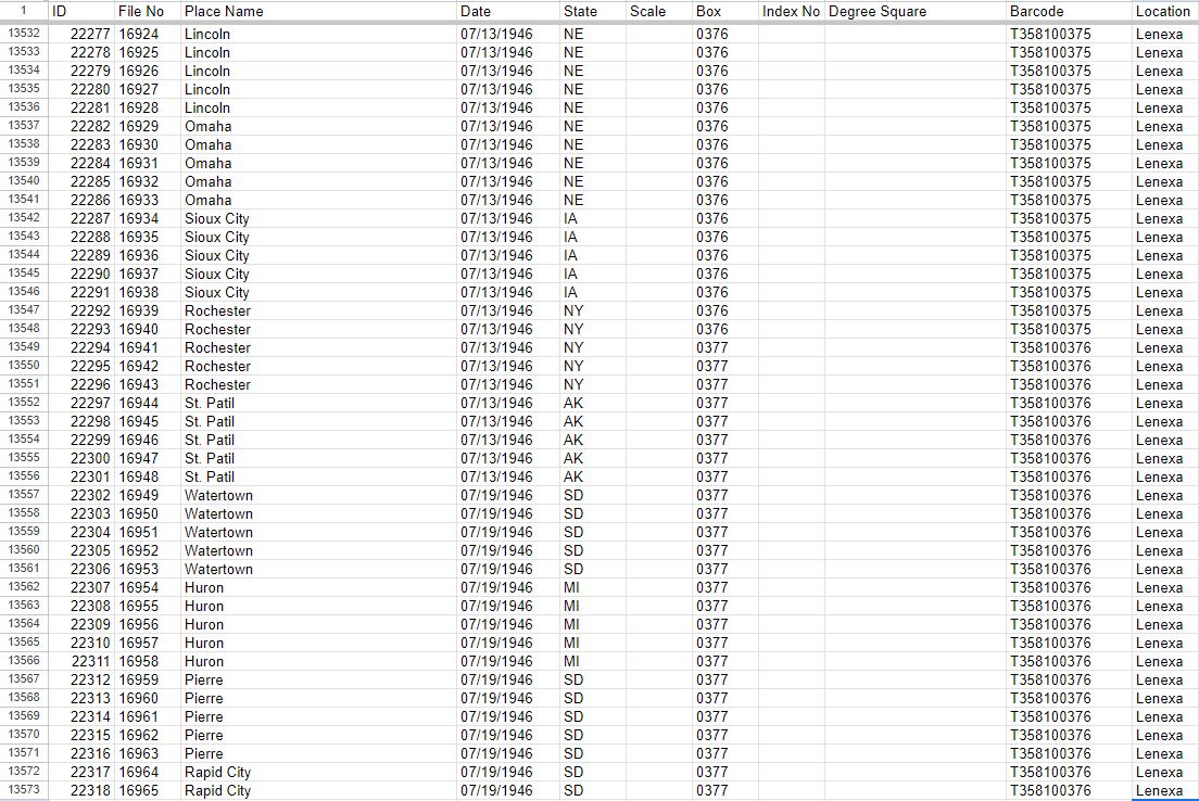
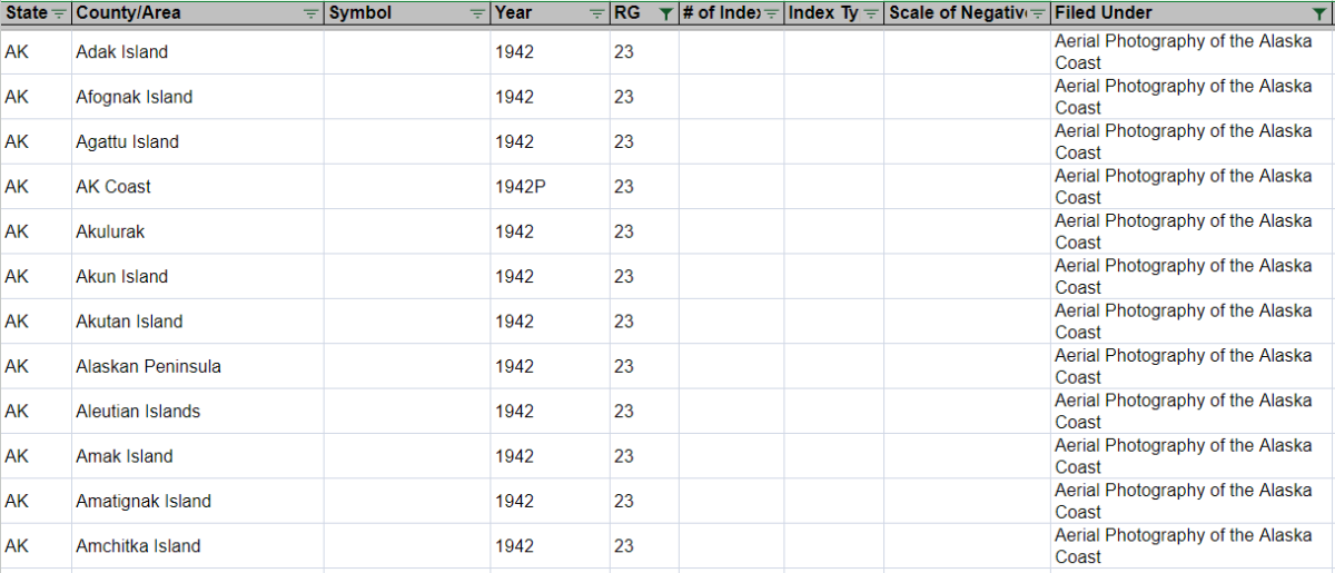
Once you have identified that there are nine-lens aerial photographs for an area of interest, you can then consult our finding aid for the photographs. This finding aid is a spreadsheet which lists general areas of coverage, dates (if available), index number (if available) and box and barcode number.
Once you have an area of interest, you can check to see if an index is listed as available.
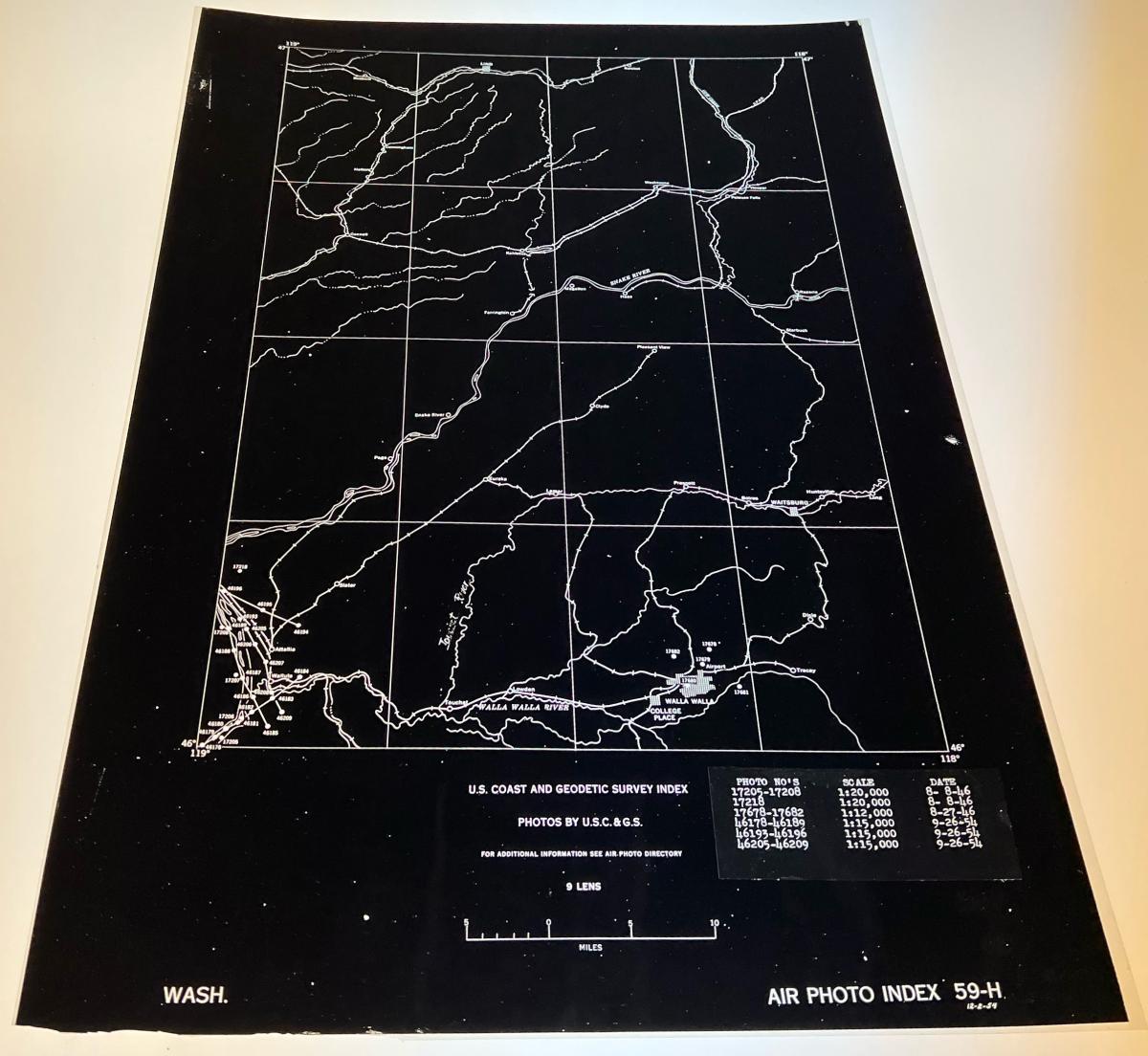
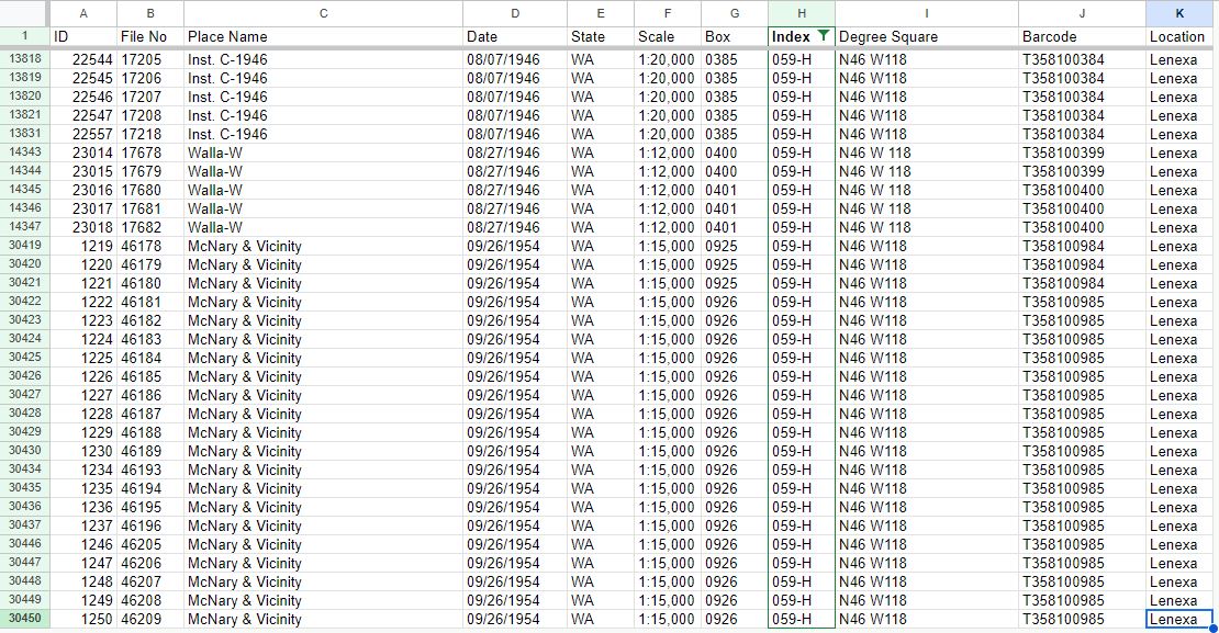
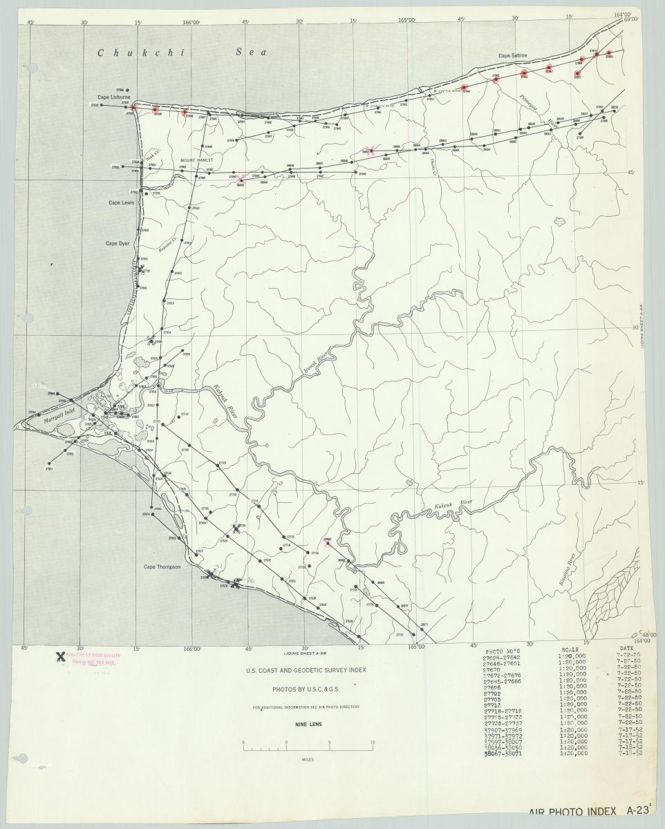
You can use these indexes to identify individual photographs that are filed within the boxes listed in the finding aid. The photograph numbers are listed and plotted on the indexes, which can then be cross referenced back to the finding aid to identify which box contains the photographs.
In this case, the index 59-H leads to photographs in boxes 385, 400, 401, 925 and 926. The finding aid lists which photographs are in which boxes, so you can request only the boxes you need for any photographs of interest.
Roughly half of the photographs in our holdings have accompanying indexes. If there is nothing listed in the index column than we do not have indexes for those photographs. If no indexes are available, you would need to order the boxes and view the photographs to identify available coverage.
The boxes are stored at the Lenexa Federal Records Center. These photographs can be ordered via order form and arrive four business days after ordering. You can send a cold storage request form to coldstorage.carto@nara.gov.
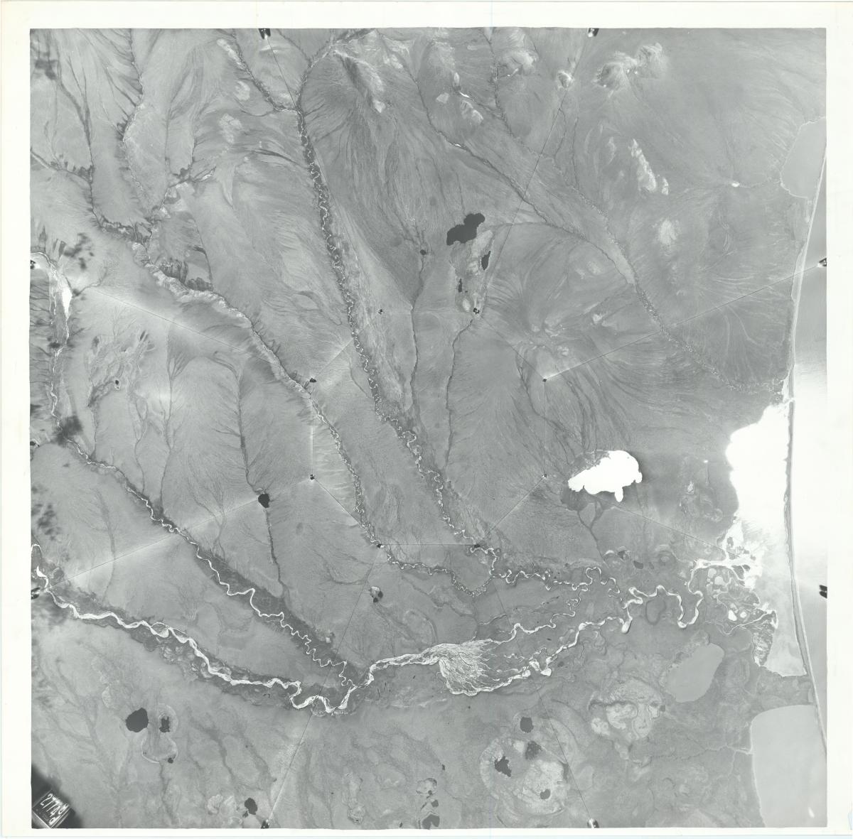
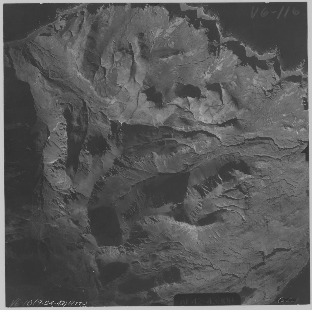
The nine-lens series also includes a subset of print photographs for the Alaska coast, which are duplicates of the negatives held in the Lenexa, Kansas facility. These do not cover all of the photographs of Alaska in the nine-lens series, but are instead a limited set of prints. There are indexes filed with the prints.
If there are photographs listed on the indexes that are not filed with the Alaska prints, these can be ordered from the Lenexa, Kansas facility like any other nine-lens photography.
Aerial Photography of the Alaska Coast, 1942–1954
Other aerial photography of Alaska in Record Group 23 can be found in the series Aerial Photography of the Alaska Coast, 1942–1954. This photography covers the coast of Alaska. Coverage can be identified in Special List 25.
The series consists of 315 photographic prints. There is no index, so specific coverage can be identified using Special List 25. These prints can be requested and viewed in the Cartographic Research Room.
Aerial Photography of Southern Alaska after the 1964 Earthquake, 1948-1964
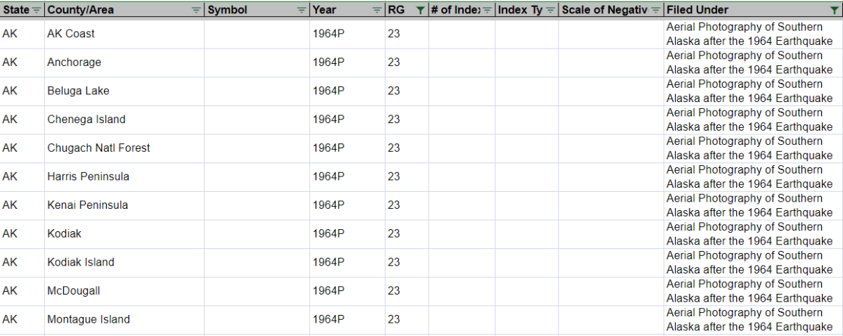
Aerial photography of Alaska in Record Group 23 outside of nine-lens photography can be found in the series Aerial Photography of Southern Alaska after the 1964 Earthquake, 1948 - 1964. This series consists of aerial photographs of Alaska before and after the 1964 earthquake and tsunami. Photography prior to 1964 was used to assess damage.
Coverage for these photographs can be searched in Special List 25.
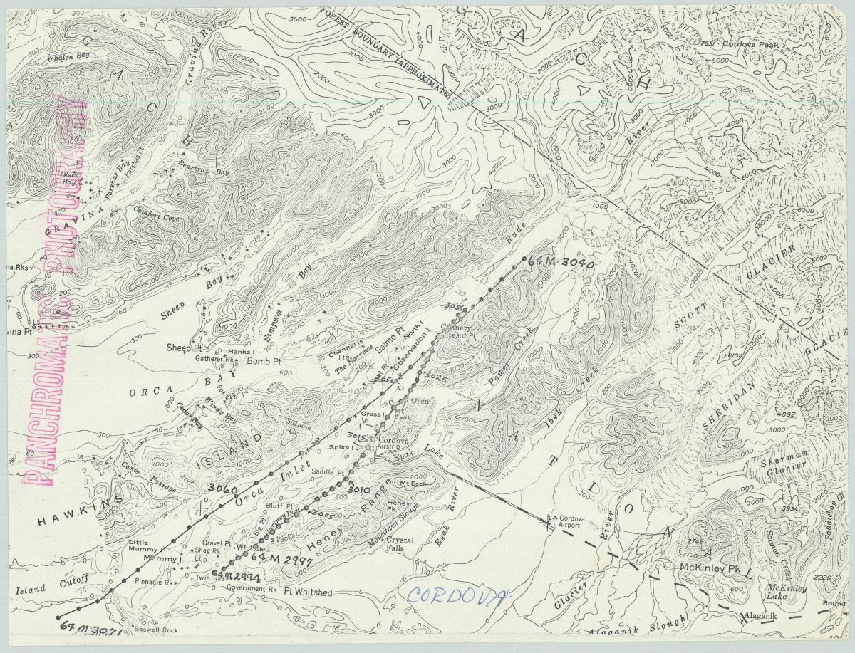
There are paper indexes which detail the available coverage. The indexes are flight lines which show the path of the flight and the individual exposure coverage.
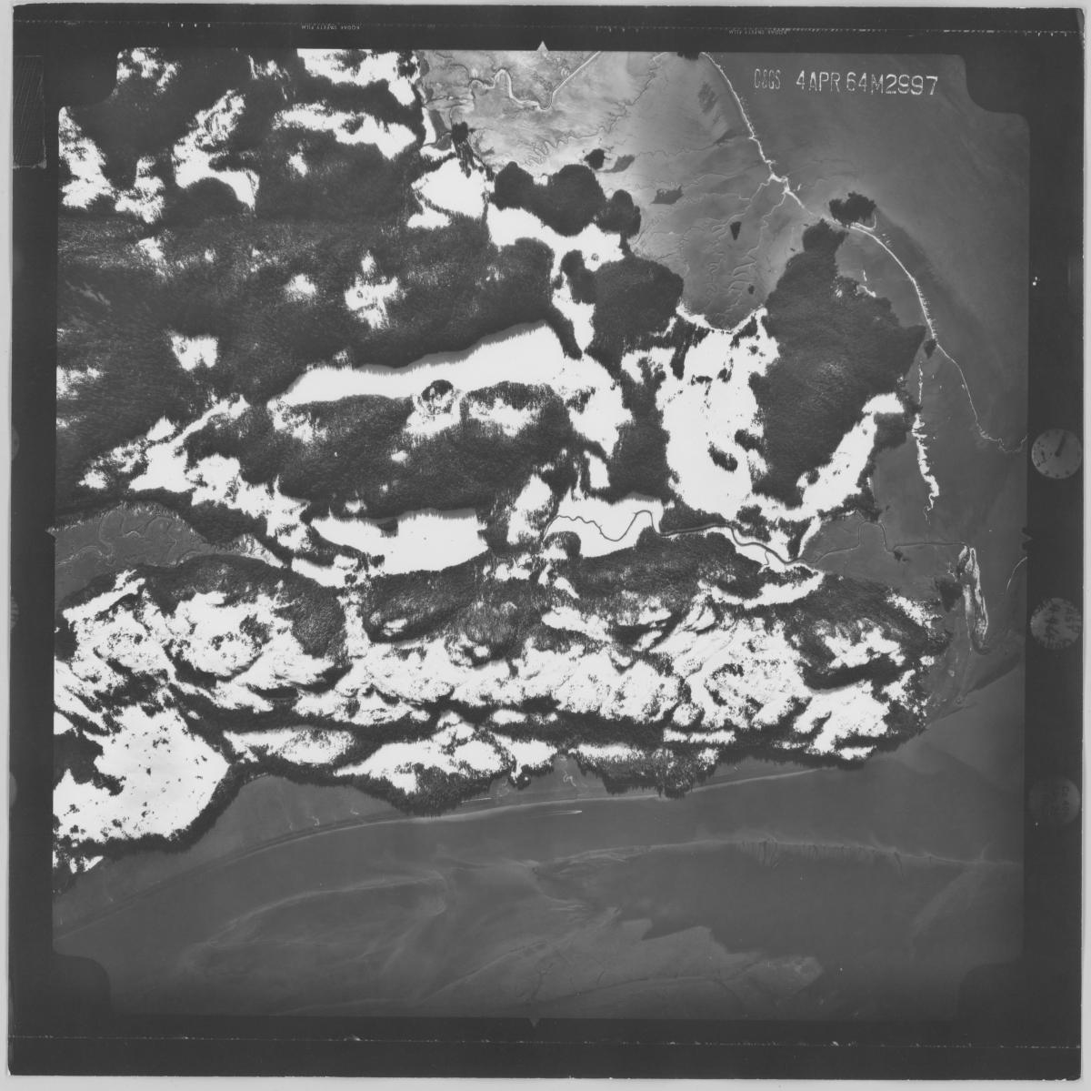
The exposures shown on the indexes correspond to prints which can be requested and viewed in the Cartographic Research Room. (ex: 64M-2997)
Geodetic Survey Control Prints and Indexes, 1940–1959
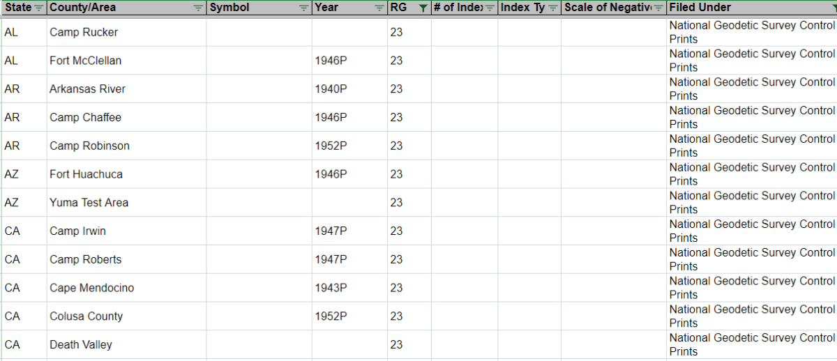
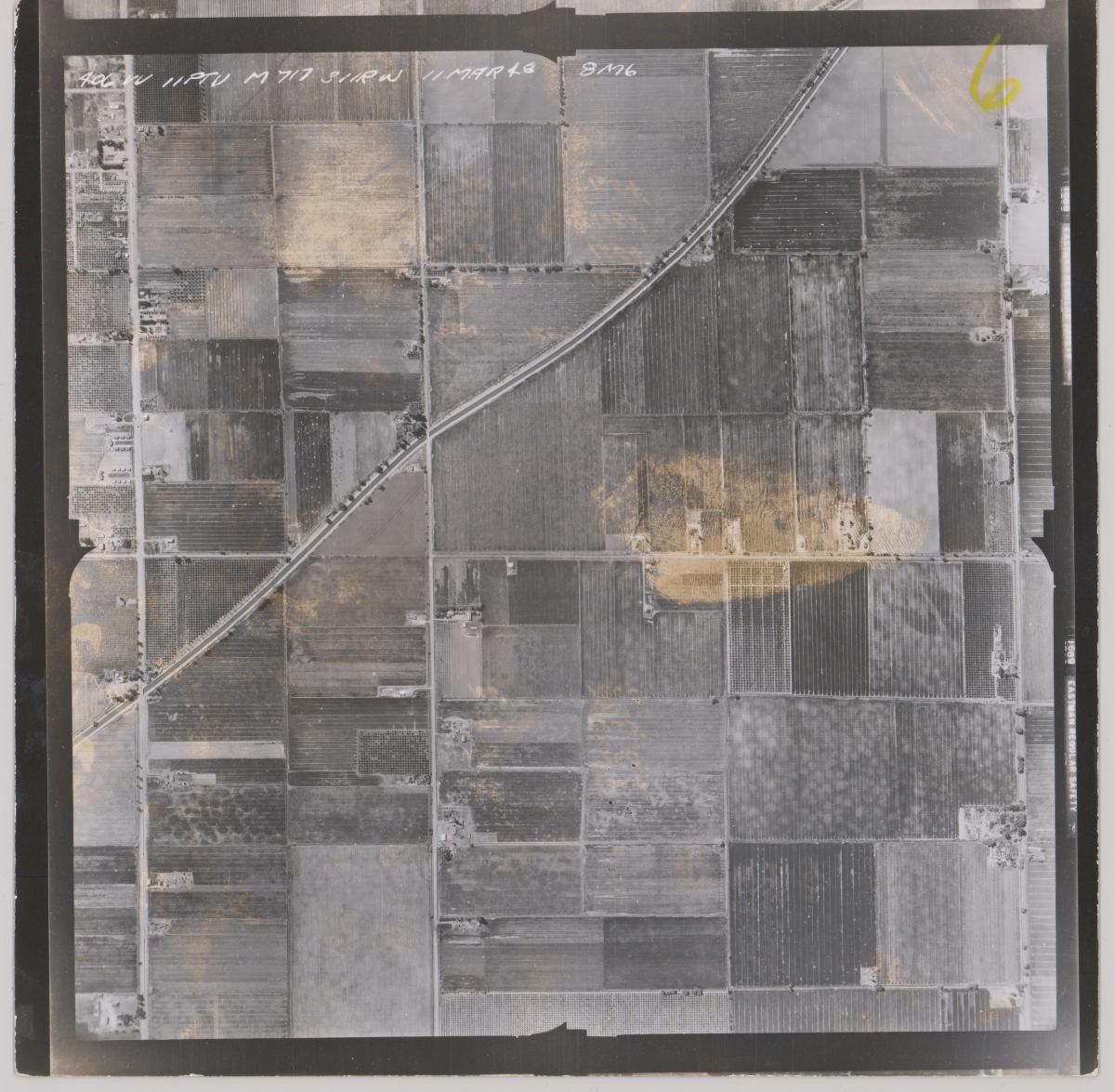
The series Geodetic Survey Control Prints and Indexes, 1940–1959 includes print aerial photographs of various areas in the United States. Available coverage can be searched by state and area in Special List 25.
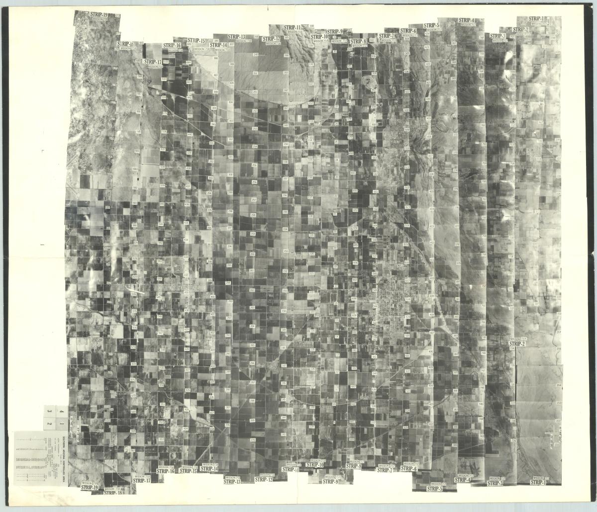
Indexes can then be viewed to determine more specific coverage of these areas. The indexes are arranged by state.
The indexes are mosaics which show each print number. These prints can then be requested and viewed in the Cartographic Research Room.
Project Completion Reports, 1957–1964
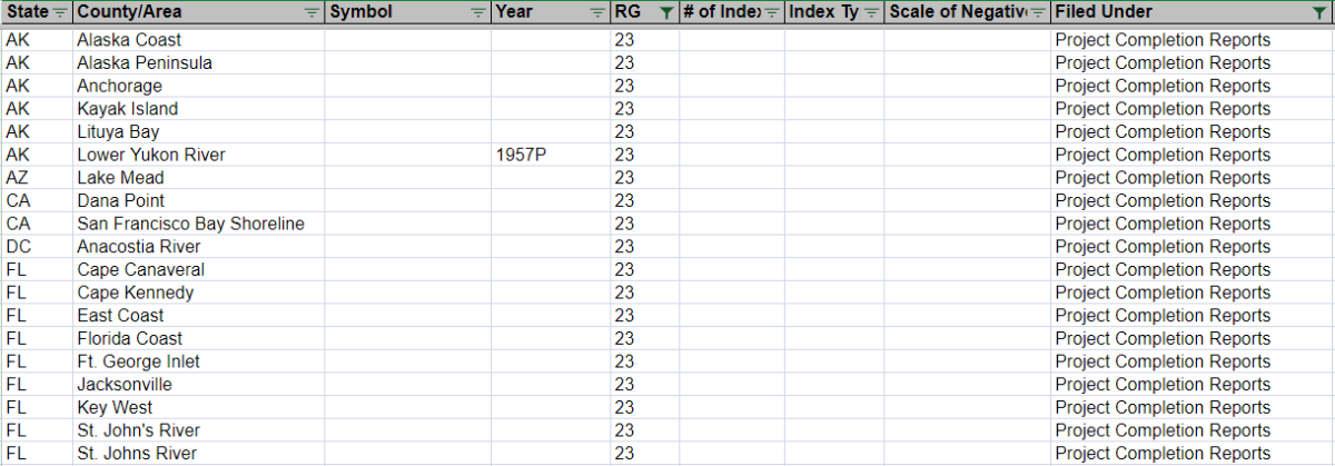
A small amount of print aerial photograph prints are in the series Project Completion Reports, 1957–1964. Available coverage can be searched in Special List 25.
All of the aerial photographs in this series are filed with reports 104 and 106. They can be requested by report number.
If you have any questions about these photographs, please contact the Cartographic Branch at carto@nara.gov.
